
After Lily Bay State Park, our next big adventure was an overnight packing trek in Cutler Coast Public Reserved Land. Patrick had done most of the research on this place and learned that there were 5 free campsites along this approximate 10-mile loop hike along the NE coast of Maine. Since the campsites were free and first come first serve, we wanted to get there early in the day so give ourselves a higher likelihood of acquiring a campsite. Worst case, we figured we would have to do the hike all in one day with our loaded packs (was really hoping this would not be the case). In order to get there early and avoid waking up at the crack of dawn, we picked a campsite between Lily Bay State Park and Cutler to stay overnight. There are a number of websites that show free campsites all over the country. We used freecampsites.com to search for our overnight stay. And we found one about an hour from Cutler along Route 9. There were about 5-6 free campsites immediately off Route 9 along the Machias River. We couldn’t believe that these campsites were free! The only downside is that when we were there, it was extremely buggy. On the plus side, Patrick finally got to don his mosquito net. Since it was so buggy, we quickly cooked dinner and got into the tent for the night. Played some Uno and read while listening to the sounds of the river. There were three other groups camping that night as well.


Early the next morning, we rose early to set off for Cutler. When we got to Cutler, we packed our backpacking bags in the parking lot and headed to the trailhead. There was a sign in book, so we were able to confirm that only one other group was planning to camp for the night (which relieved me of my worries that we would have to do the entire hike in one day). We started with the coastal route, saving the inland, flatter route for the second day’s hike. We cannot emphasize enough how beautiful this hike is and how remote if feels! The first day, we only saw 9 people over the entire 4.5-mile portion! And the views are breathtaking! Rocky coastal terrain with only one or two visible boats as far as we could see. The hike is not too difficult, even with our packs, but does offer some good ups and downs and scrambles across rocks. It was helpful to have good hiking shoes for the rock portions.


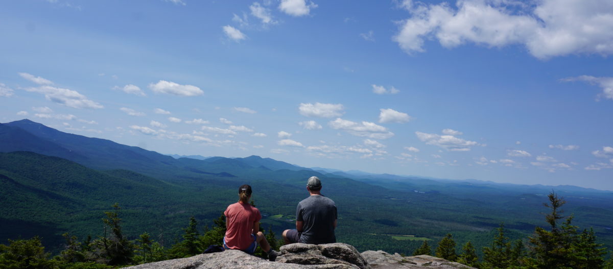
Overall, the hike was good way to ease into backpacking (I hadn’t backpacked in over 10 years and Patrick had only backpacked in Glacier once). All five campsites are located along the coastal part of the trail. The last three are at Fairy Head, which is the middle of the loop where you head inland and turn back to the trail head. We wanted to stay at one of these three, so we split the hike into two, rather than staying at one of the earlier campsites and saving a long hike for our second day. However, the Long Point campsite was adjacent to a nice, private cove with a rocky beach, so if you wanted to do one of the early ones, we would recommend this one. Also, the Black Point campsite is at the Black Point cutoff route, so if you were not planning to do the entire loop, this offers a convenient half-way point. Of the Fairy Head campsites, FH-2 is by far the best; it is located on the top of an overlook and you can set your tent up near the edge to lookout onto the water. Unfortunately, the one other group camping for the night beat us to this spot, so we continued onto FH-3. This one does not offer a view but is a few short steps from a large rock outcrop that you can sit on and look out onto the water/sunset. It was also very buggy when we did this hike, and the rocks offered a retreat from the bugs. We sat on the rocks for almost 4 hours and cooked dinner out here. It’s hard to describe the experience because it is so surreal – watching the waves crash over the rocks, just the two of us, with absolutely no one in sight. And, as if it wasn’t beautiful enough, we watched a bald eagle hunting in the seas as the sun was setting over the trees. Once the sun set, we got into our tent and listened to our book on tape for a while before going to sleep.


Campsite marked by buoys 
FH-3 campsite 
FH-3 pit toilet


The next morning, we got up early to hike out. It was about 5.6 miles (with the current detour due to flooding, which adds 1.2 miles from the original trail) back to the car. The inland trail is mostly flat, and with our lighter packs, we were able to do it in about 2.5 hours. Along the inland trail, there is a beautiful, peaceful pond. Don’t miss the overlook if you are hiking this route! Once we reached the car, we threw our bags into the back (without unloading) and headed to Schoodic Woods in Acadia.
